
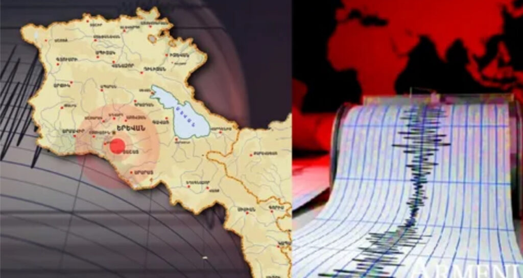
On December 8 of this year at 14:35 local time (10:00 GMT).In the Armenia-Azerbaijan border zone, 13 km northeast of the city of Jermuk, the seismological network of the Territorial Seismic Protection Service of the Ministry of Internal Affairs of the Republic of Armenia recorded a 2.2 magnitude earthquake in a 10 km deep center with geographical coordinates of 39.92 ° north latitude and 45.73 ° east longitude.:
The strength of the tremors in the epicenter was 2-3 points.:
An earthquake of magnitude 1-2 was felt in the city of Jermuk, the villages of Kechut and Gndevaz in the Vayots Dzor region.